

Supersense 3D Free Flight
MARIO DE QUEIROZ MONTEIROSupersense 3D Free Flight is a flight app for pilots that focuses on mapping thermals through a 3D flight trail, with draggable infoboxes and downloadable elevation data. The source describes the software as free to use, and its listed category is Other.
Screenshots
About this app
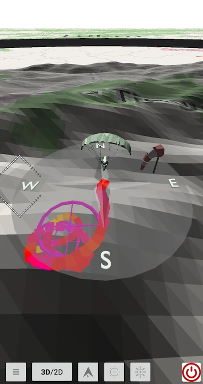
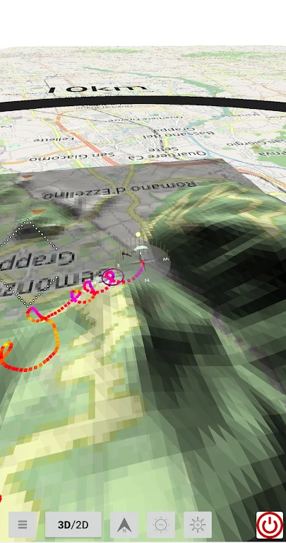
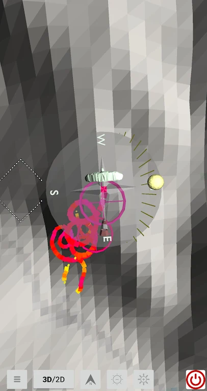
Supersense 3D Free Flight is an app for pilots who want to map thermals during a flight. The source describes it as a way to follow a flight trail in three dimensions, creating a visual record of thermal activity alongside on-screen flight information and downloadable elevation data.
What does the app do for thermal mapping?
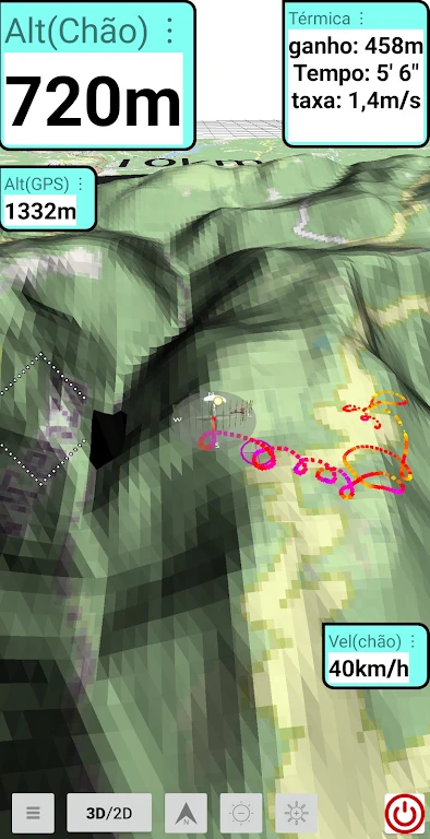
According to the source, the 3D flight trail is the main tool for thermal mapping. The developer presents it as a way for pilots to analyze and identify thermal patterns during their flights, which the source connects to a more rewarding flying experience. The description does not go into the specific calculations or display options used to produce these patterns.
Which flight information can be shown, and how is it arranged?
The source says flight information appears in customizable infoboxes. Pilots can drag these boxes to different positions on the screen with a finger, and they can adjust the text size so that important readings are easier to see. The examples given for critical data are GPS altitude, altitude above ground level, and speed over ground.
Can the app replay an existing flight file?
The description says the app works with an existing .igc file, which pilots can use to replay a recorded flight and review its trail. The source suggests this replay as a way to become familiar with the app, and it notes that infobox position and font size can be changed during replay. The description does not list other supported file formats.
What does the elevation data download provide?
Users can download elevation data for each continent. The source states that this data comes from the SRTM project by NASA, which it describes as freely available. According to the developer, the terrain information can support flight planning and decision-making. The description does not explain how the downloaded data is processed inside the app.
What pricing details are stated?
The source describes Supersense 3D Free Flight as free flight software that can be used without additional cost. It does not list in-app purchases, subscriptions, or other payment terms, so readers should treat those details as unstated in the supplied description.
Version history
View all15 Aug 2024 · stable
Frequently asked questions
Who is the listed developer of Supersense 3D Free Flight?
The supplied listing names MARIO DE QUEIROZ MONTEIRO as the developer.
Which version and category are listed for the app?
The listing shows version 451.0 and places the app in the category Other.